October 2026
INTO THE VOLCANIC HEART OF MT. ASAMA
After days of rain, gray skies, and weather that made hiking feel like a distant dream, Saturday finally arrived with clear blue skies and cool mountain air.
It was too good to waste.
So, before sunrise, we got in the car and headed toward MT. ASAMA, one of Japan’s most active volcanoes.
Our destination was MAEKAKESAN, one of the peaks of the volcano at 2,524 meters.
I had already hiked Kurofu-yama, on the outer rim of Mt. Asama, where the volcano looked magnificent from a distance. This time, however, I would be going in the opposite direction—deeper into the volcanic landscape itself.
That sounded exciting.
It also sounded like a lot of work.
And I was about to find out just how much.
AN EARLY START THAT WASN’T EARLY ENOUGH
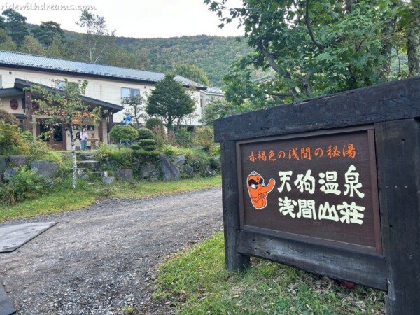
We arrived at TENGU ONSEN before 6 AM, thinking we were getting an early start.
Apparently, so did everyone else.
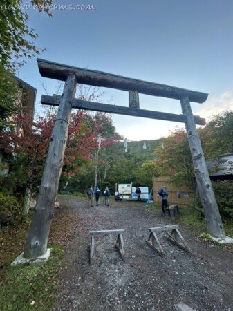
The paid parking lot was already packed with cars and hikers. People were getting ready, adjusting backpacks, putting on hiking boots, and preparing for the long climb ahead.
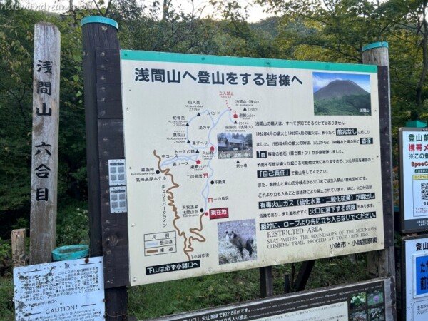
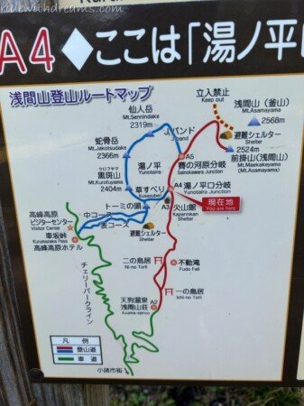
Clearly, Maekakesan is a popular weekend destination, especially among hikers from the Tokyo area. It is relatively accessible by car and offers something pretty special: a 2,524-meter summit, a challenging but manageable day hike, and a trail that takes you remarkably close to an active volcano.
The round trip is around 15 km, with more than 1,000 meters of elevation gain—a challenging climb that takes roughly eight hours from start to finish.
Not exactly a casual morning walk.
Still, with the weather looking perfect, we were ready to go.
A PEACEFUL BEGINNING
The beginning of the trail was almost deceptively easy.
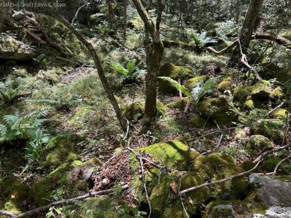
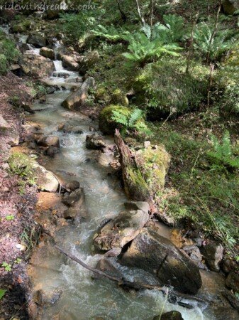
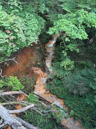
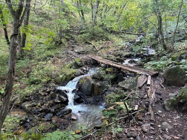
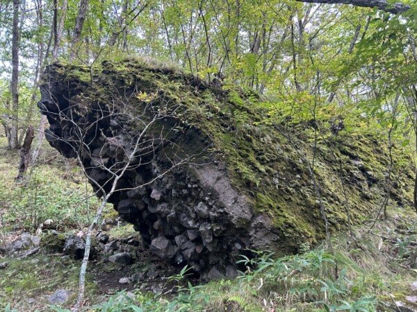
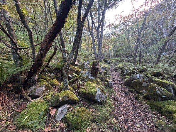
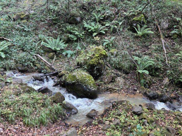
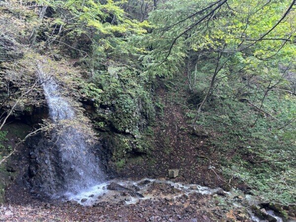
We walked through a lush green forest, following a clear, winding river. Moss covered the rocks beside the trail, giving the forest a soft, almost enchanted appearance.
The water itself was surprisingly beautiful. In places, it had a strange greenish, milky color that made the whole landscape feel a little mysterious.
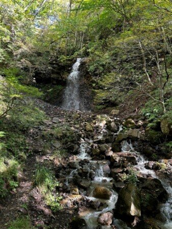
We passed a beautiful waterfall and several wooden bridges, all blending naturally into the surrounding forest.
At this point, it was hard to believe that we were heading toward one of Japan’s most active volcanoes.
It felt more like a peaceful walk through a fairytale forest.
But that was about to change.
INTO THE CLOUD FOREST
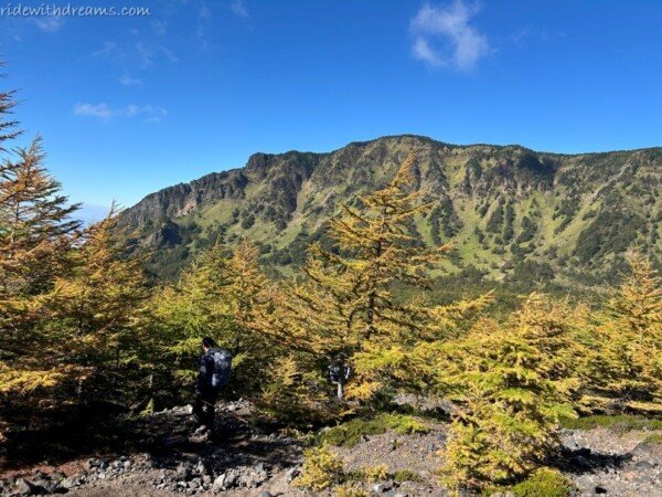
As we climbed higher, the forest became taller and denser. We entered what felt like a true cloud forest, with towering trees surrounding the trail and occasional openings revealing the mountains beyond.
And the weather was simply perfect.
The sky was brilliant blue, the air was cool, and visibility was excellent. After several days of rain and clouds, it felt like nature had finally decided to apologize.
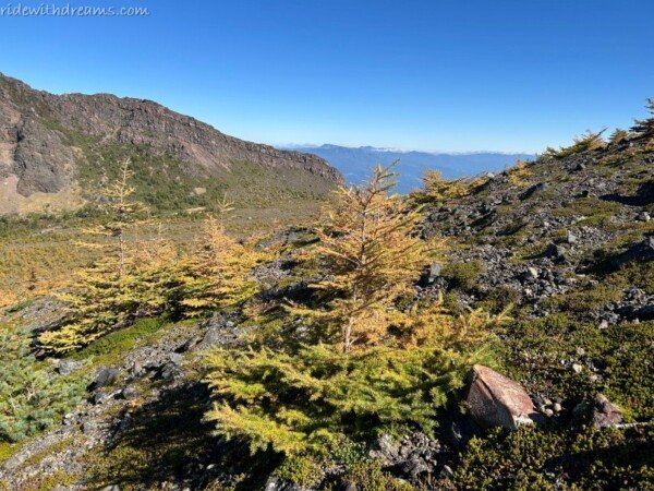
Every time the trees opened up, we were rewarded with increasingly beautiful mountain views.
We couldn’t have asked for better hiking conditions.
But then, something else appeared.
A smell.
Sulfur.
WHEN THE VOLCANO STARTS TO SHOW
The further we climbed, the more obvious it became that this was not an ordinary mountain.
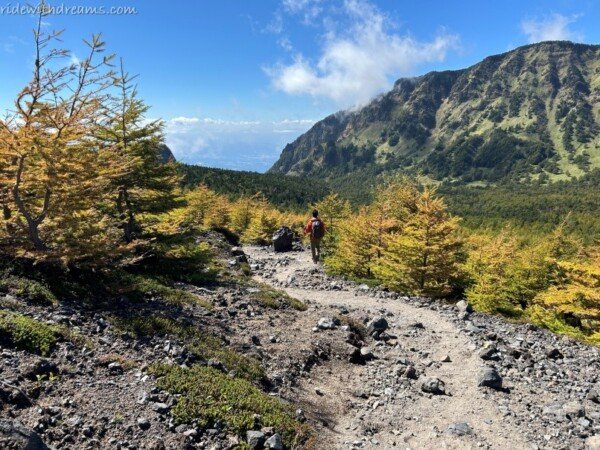
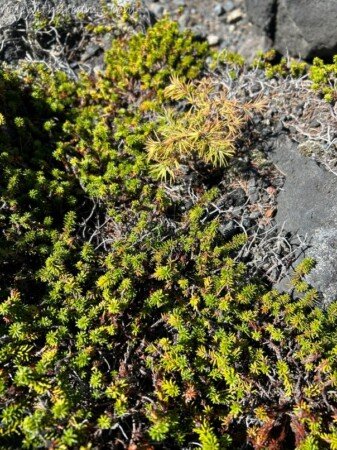
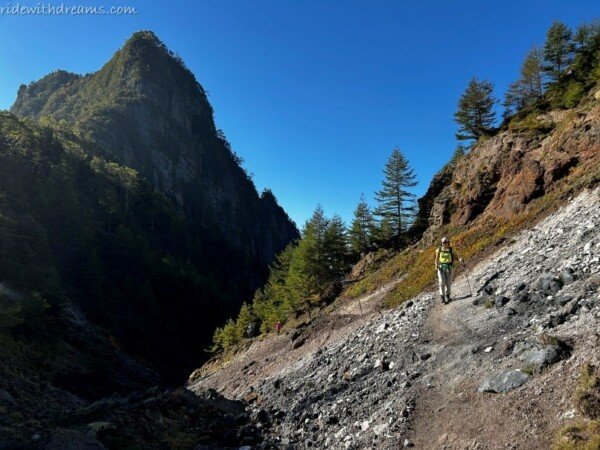
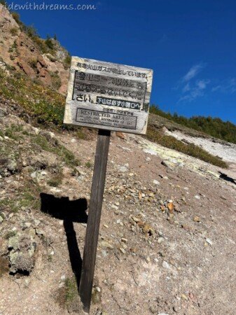
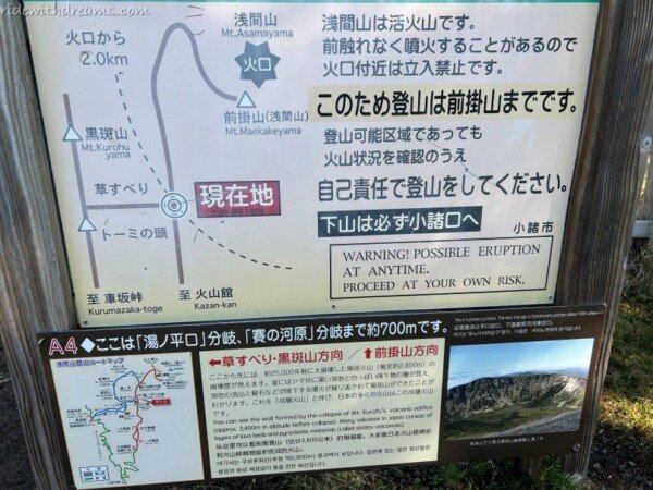
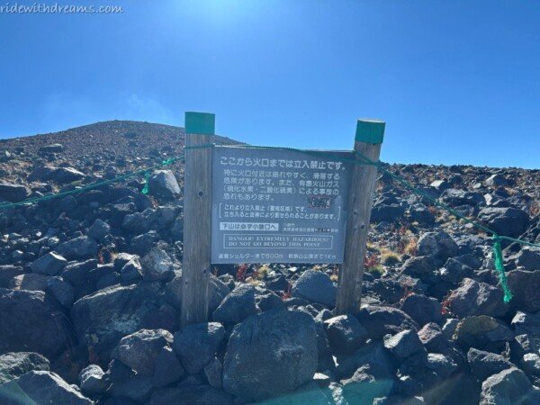
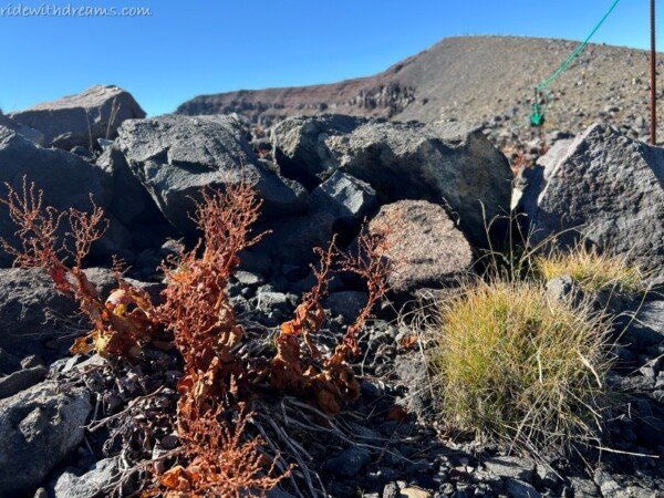
We started seeing warning signs about the active volcano. The lush vegetation gradually disappeared, replaced by bare ground and volcanic rocks.
The rocks were scattered everywhere in shades of white, yellow, orange, and red, creating a landscape that looked completely different from the green forest below.
The air smelled faintly of sulfur.
It was fascinating—and just a little unsettling.
This was the moment when Mt. Asama stopped feeling like a beautiful mountain and started feeling like what it really is:
a living volcano.
THE TRAIL GETS SERIOUS
We eventually reached a rest house with a paid toilet, and from there, the character of the trail changed dramatically.
The gentle forest walk was over.
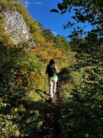
The path became steep, sandy, and rocky, with loose volcanic stones making every step more difficult. Some sections felt almost like climbing over a series of rocky cliffs rather than following a normal hiking trail.
And there were a lot of people.
Hikers were coming up and going down, and on the narrow sections we often had to stop and move aside to let others pass.
Then there was another soundtrack accompanying the hike.
Bear bells.
So. Many. Bear bells.
Almost everywhere we went, we could hear ding, ding, ding coming from somewhere ahead or behind us.
I understand why hikers carry them, but after hours of hearing those bells, I was starting to wonder if the bears were actually the ones trying to stay away from us.
With so many hikers on the trail, I couldn’t imagine a bear wanting to come anywhere near the place.
Still, the bells kept ringing.
And ringing.
I ALMOST GAVE UP
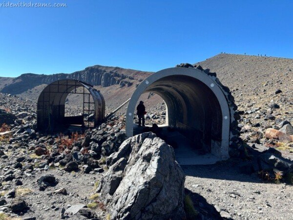
Eventually, we reached two volcanic shelters.
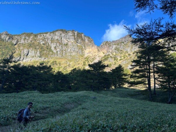
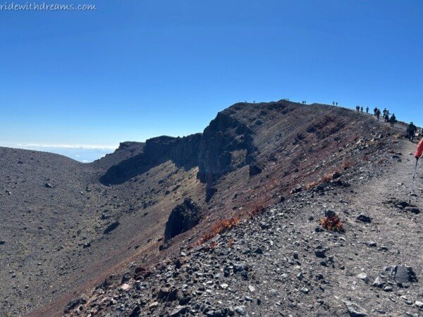
From there, I could see a long line of people making their way toward the summit.
And honestly, I was exhausted.
At that point, I was seriously considering giving up.
The climb had already taken a lot out of me, and the rocky, steep terrain near the top wasn’t exactly encouraging.
Then I found out that the summit was only about 30 minutes away.
Thirty minutes.
I had already come this far.
And ringing.
And with the weather this perfect, it seemed like a terrible shame to stop when the summit was practically within reach.
So I kept going.
Sometimes, hiking is less about physical strength and more about negotiating with yourself.
Just another 30 minutes.
That was the deal.
THE FINAL PUSH
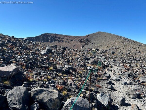
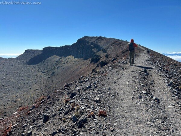
The final section to the top was actually less difficult than I had imagined.
It was still rocky and tiring, but the slope wasn’t as brutally steep as some of the sections below.
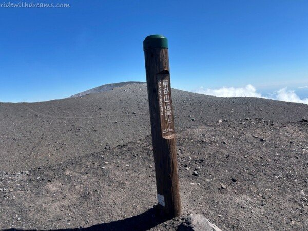
And then, finally, we reached the summit of MAEKAKESAN.
Suddenly, the exhaustion disappeared.
Almost.
The view was magnificent.
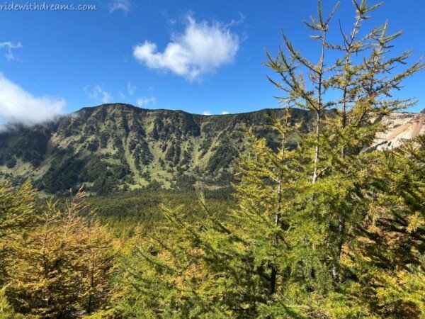
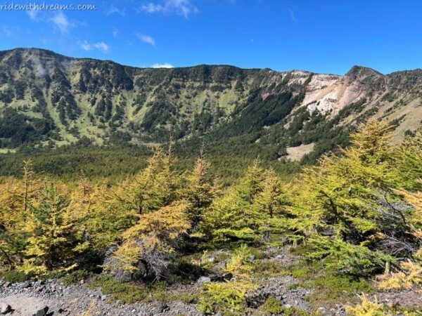
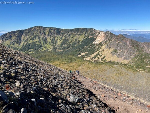
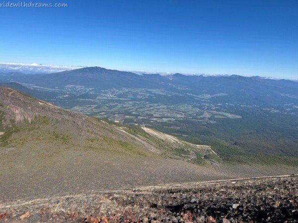
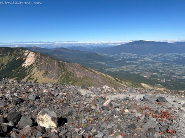
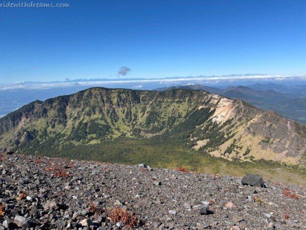
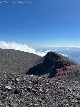
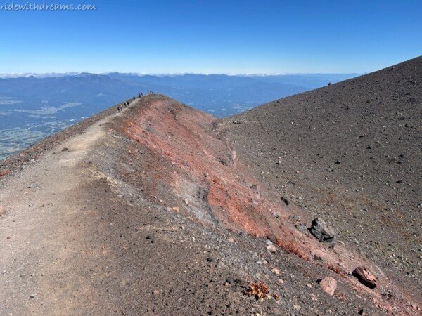
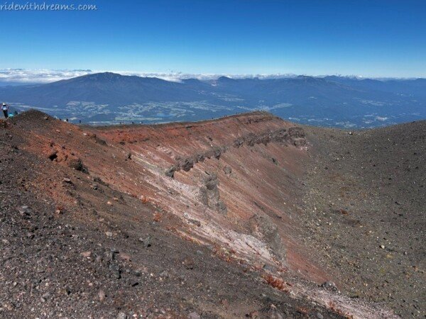
From the summit, the landscape opened up in every direction, with completely different views on either side. Mountains stretched far into the distance, while the rugged volcanic slopes of Mt. Asama surrounded us.
It was one of those places where you don’t know where to look first.
I ended up stopping every few steps to take photos.
And every time I turned around, the view seemed slightly different.
A VOLCANO THAT NEVER REALLY SLEEPS
The most impressive part was knowing what was beneath and beyond the landscape.
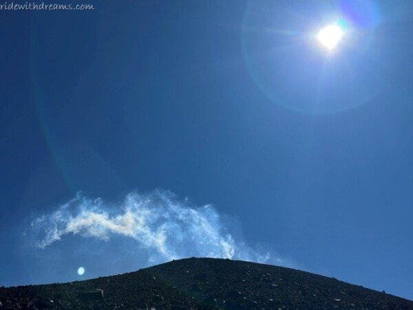
Although we could not approach the active volcanic area, we could still see smoke rising continuously from Mt. Asama.
Under the brilliant blue sky, the white smoke looked almost peaceful.
But knowing that it was coming from an active volcano made the scene much more dramatic.
Standing there, surrounded by mountains and volcanic rocks, I was reminded that Mt. Asama isn’t simply a beautiful backdrop for hiking.
It is still alive.
The barren landscape around the upper slopes felt like a direct reminder of the power of nature—and of how quickly a mountain can change from lush and green to harsh and almost otherworldly.
DOWNHILL — WHEN THE REAL TIREDNESS KICKS IN
After spending some time at the summit, we started our descent.
When we reached the rest house again, many hikers were already sitting around the wooden tables and benches, enjoying their lunches.
It looked incredibly tempting.
But after such a long climb, we decided not to stop for long and continued downhill.
The descent was not exactly easy either. The loose rocks and steep sections required plenty of concentration, and by then, our legs were definitely starting to feel the effects of the day.
Eventually, the forest returned.
The volcanic rocks gradually disappeared, the trees became greener, and the sound of the river welcomed us back.
It felt good to be surrounded by trees again.
EIGHT HOURS LATER…
After almost eight hours of hiking, we finally made it back to the parking lot at TENGU ONSEN.
The entire round trip was around 15 km, and by the time we reached the car, I was more than ready to sit down.
Fortunately, there was one final reward waiting for us.
The parking ticket from TENGU ONSEN came with a discount for the onsen.
After eight hours of hiking, soaking in a hot spring sounded almost as satisfying as reaching the summit.
Maybe even better.
A COMPLETELY DIFFERENT SIDE OF MT. ASAMA
Maekakesan was definitely a tiring hike.
The distance was long, the upper section was steep and rocky, and the crowds made some parts of the trail slower than expected. But the scenery made the effort worthwhile.
What I enjoyed most was how dramatically the landscape changed along the way.
We started beside a clear river, surrounded by moss-covered rocks and lush forest. Then came the cloud forest, mountain views, sulfur smells, volcanic rocks, and finally the barren slopes near the summit.
It felt like walking through several completely different landscapes in a single hike.
And compared with my previous hike on Kurofu-yama, the experience was completely different.
From Kurofu-yama, I admired Mt. Asama from the outside.
From Maekakesan, I felt like I had stepped into its volcanic world.
The hike was exhausting. I complained about the rocks. I seriously considered giving up. And I definitely could have lived happily without eight hours of bear-bell background music.
But in the end, I’m glad I pushed through those final 30 minutes.
Because sometimes the best views are waiting just beyond the point where you’re ready to turn around.
And standing on Maekakesan, under a perfect blue sky, with smoke rising from an active volcano in the distance, was one of those moments that made every tired step worthwhile.